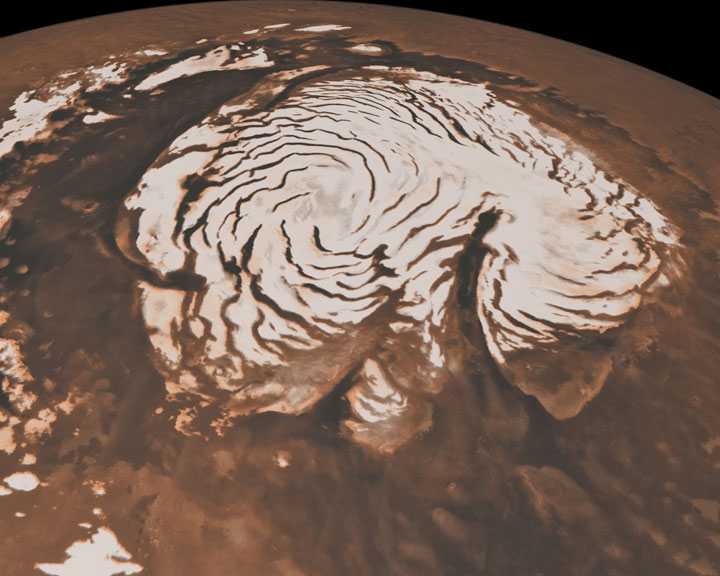
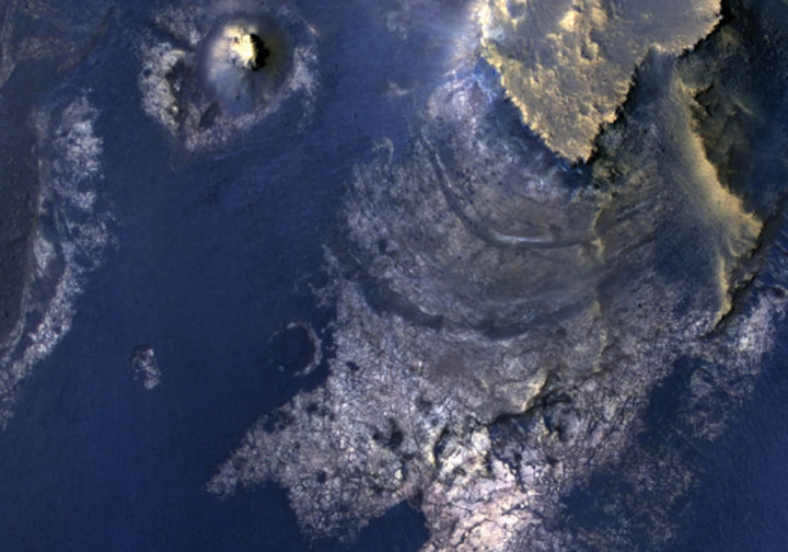
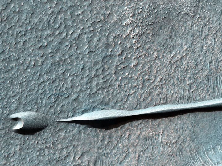


Essential Lens: Analyzing Photographs Across the Curriculum
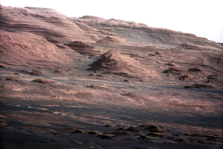
Processes of Science: Mars, a Case Study #6017 Link to a Watery Past

Metadata
Date: September 2, 2012
Location: Mars
Photographer: NASA’s Curiosity rover
Source: NASA/JPLCaltech/MSSS
Caption
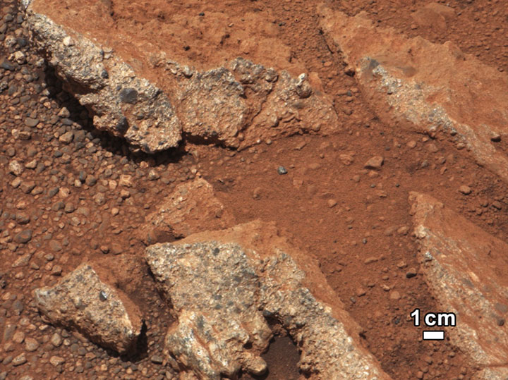
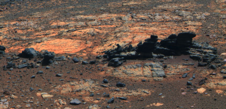
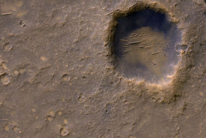
In this image from NASA’s Curiosity rover, a rock outcrop, called “Link,” pops out from a Martian surface that is elsewhere blanketed by reddish-brown dust. The fractured Link outcrop has blocks of exposed, clean surfaces.
Rounded gravel fragments, or clasts, up to a couple inches (few centimeters) in size are in a matrix of white material. Many gravel-sized rocks have eroded out of the outcrop onto the surface, particularly in the left portion of the frame. The outcrop characteristics are consistent with a sedimentary conglomerate, or a rock that was formed by the deposition of water and is composed of many smaller rounded rocks cemented together. Water transport is the only process capable of producing the rounded shape of clasts of this size.
The Link outcrop was imaged with the 100-millimeter Mast Camera on Sept. 2, 2012, which was the 27th sol, or Martian day of operations.
The name Link is derived from a significant rock formation in the Northwest Territories of Canada, where there is also a lake with the same name.
Scientists enhanced the color in this version to show the Martian scene as it would appear under the lighting conditions we have on Earth, which helps in analyzing the terrain.
Rights
Photos downloaded from the Essential Lens site are cleared for educational use only.