
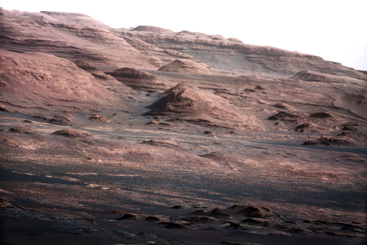


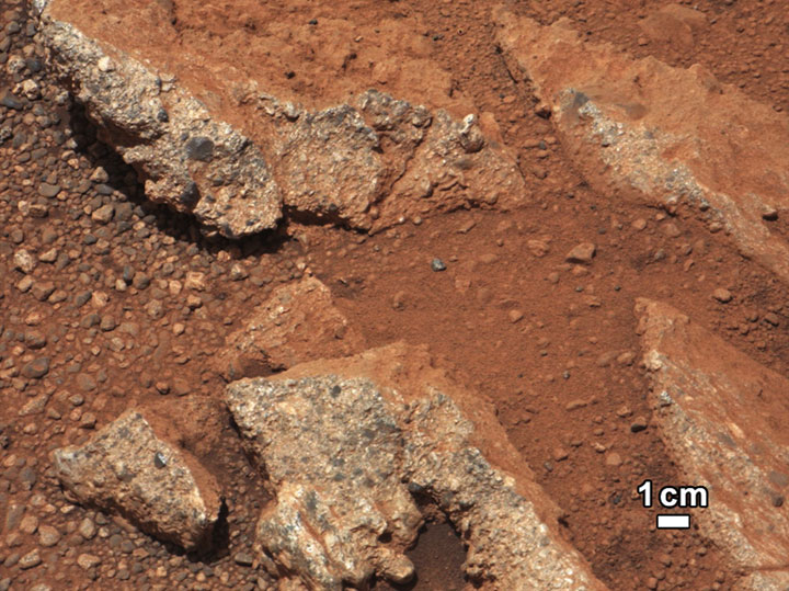
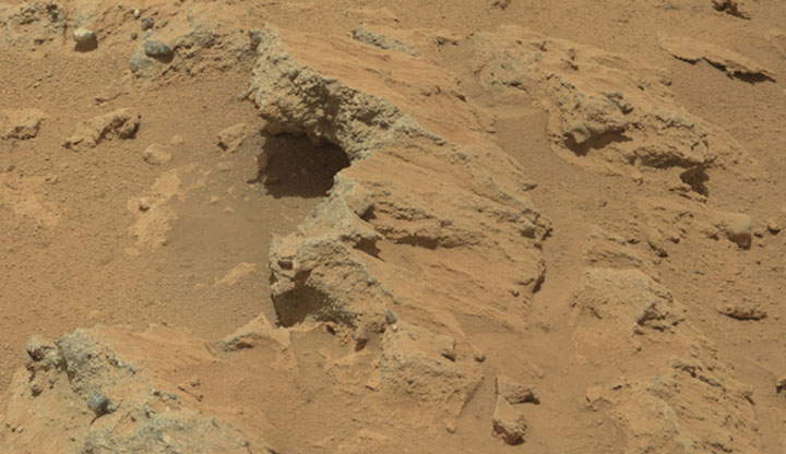


Essential Lens: Analyzing Photographs Across the Curriculum
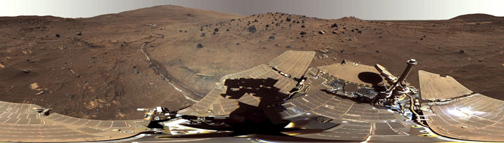
Processes of Science: Mars, a Case Study #6002 Murray Ridge

Metadata
Date: November 12, 2013
Location: Mars
Photographer: NASA’s Mars Exploration Rover, Opportunity
Source: NASA/JPL-Caltech
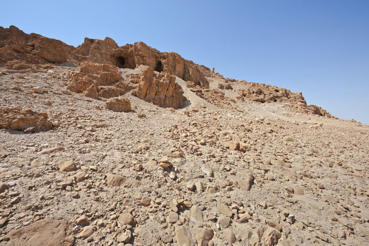
Caption
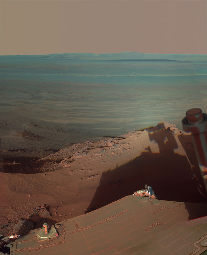
After driving uphill about 139 feet (42.5 meters) during the 3,485th Martian day, or sol, of its work on Mars (Nov. 12, 2013), NASA’s Mars Exploration Rover, Opportunity, captured this image with its navigation camera. The climb ascended Murray Ridge above Solander Point on the western rim of Endeavour Crater.
The view is toward the north-northeast. The distance between the two parallel tracks is about 3.3 feet (1 meter). This sol’s drive brought Opportunity’s cumulative driving distance to 24.01 miles (38.64 kilometers).
Rights
Photos downloaded from the Essential Lens site are cleared for educational use only.