
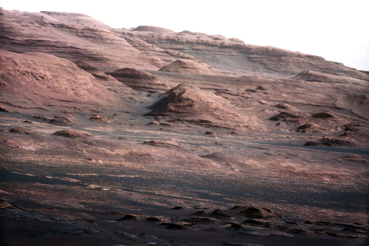


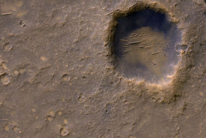


Essential Lens: Analyzing Photographs Across the Curriculum
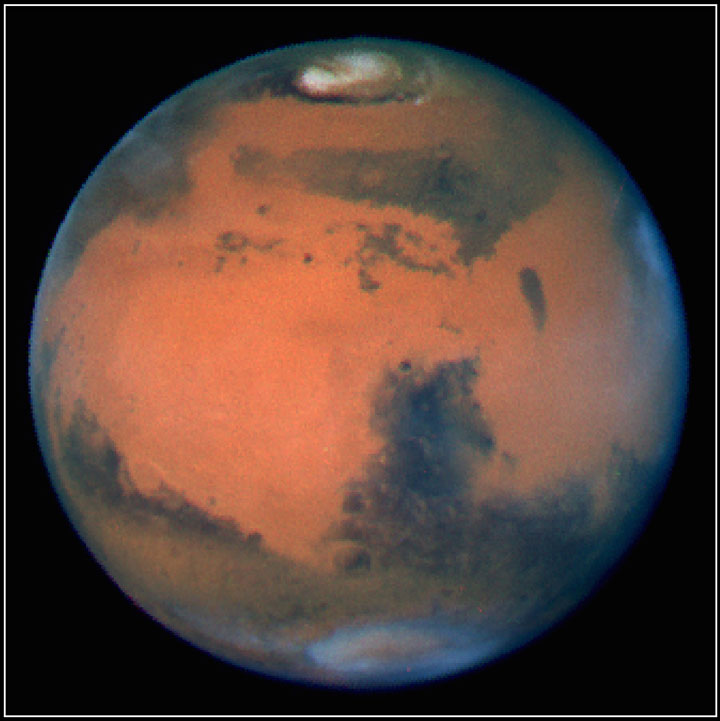
Processes of Science: Mars, a Case Study #6006 Polar Region of Mars

Metadata
Date: May 26, 2010
Location: Mars
Photographer: NASA’s Mars Global Surveyor
Source: NASA/JPL-Caltech/MSSS
Caption
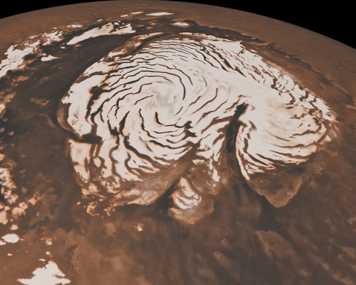
This image, combining data from two instruments aboard NASA’s Mars Global Surveyor, depicts an orbital view of the north polar region of Mars.
The ice-rich polar cap (the quasi-circular white area at center) is approximately 1,000 kilometers (621 miles) across. The white cap is riven with dark, spiral-shaped bands. These are deep troughs that are in shadow. They do not reflect sunlight as well or have more internal layers exposed. To the right of center, a large canyon, Chasma Boreale, almost bisects the ice cap. Chasma Boreale is about the length of the Grand Canyon and up to 2 kilometers (1.2 miles) deep.
New findings from the shallow radar instrument aboard the Mars Reconnaissance Orbiter have revealed subsurface geology in this region, allowing scientists to reconstruct the formation process of the large chasm and spiral troughs.
The image synthesizes topographic data from Mars Orbiter Laser Altimeter (MOLA) and images from the Mars Orbiter Camera (MOC).
Rights
Photos downloaded from the Essential Lens site are cleared for educational use only.